Scan preparation
Check changing areas, slopes, uneven ground, open areas, and reflector deployment before scanning.
Mapping work spans point-cloud scanning, reflector detection, map alignment, point/path editing, topology, validation, and RCS or device import.
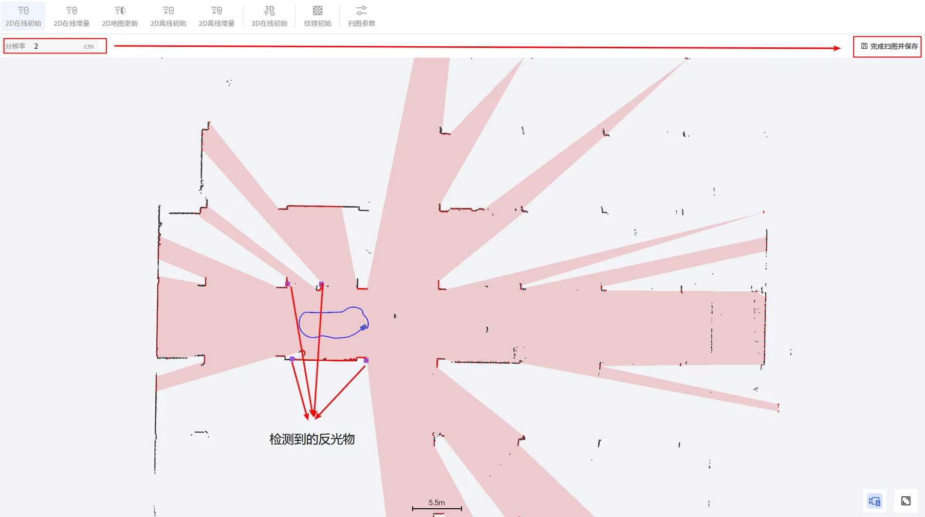 Source: AGV-SRC-03-mapping
Check changing areas, slopes, uneven ground, open areas, and reflector deployment before scanning.
The point-cloud deck emphasizes that the scan path should include a closed loop.
The source states scan speed should remain below 1 m/s and turn speed below 10 degrees per second.
Noise from moving, hidden, insignificant, glass, or non-vertical objects should be erased before topology editing.
Map drawing covers point types, path attributes, forbidden zones, charging zones, queue zones, and connectivity checks.
Maps can be saved, imported, uploaded to RCS, or sent to an AMR after review.
Point types and path properties define where vehicles run, wait, charge, queue, avoid, follow, slow down, or connect with equipment.
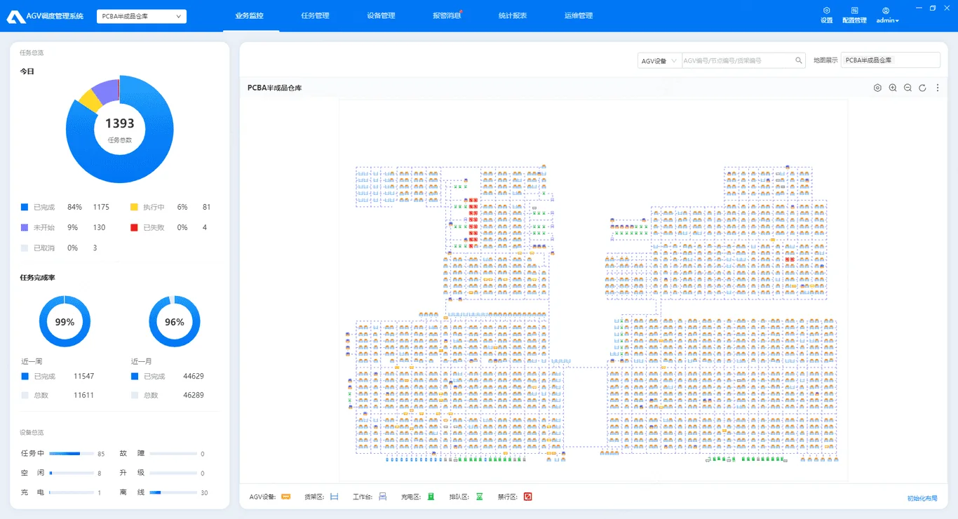 Source: AGV-SRC-08-rcs-dispatch
Include layout drawings, route photos, docking points, forbidden areas, charging positions, and any reflector or QR constraints.